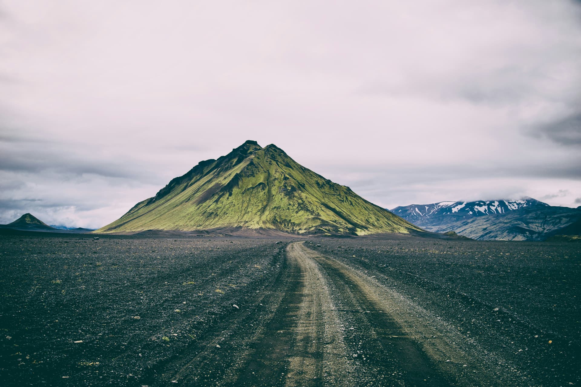
Laugavegur is a long-distance trail
in southern Iceland. It runs from
the Landmannalaugar geothermal springs
to the Þórsmörk nature reserve.
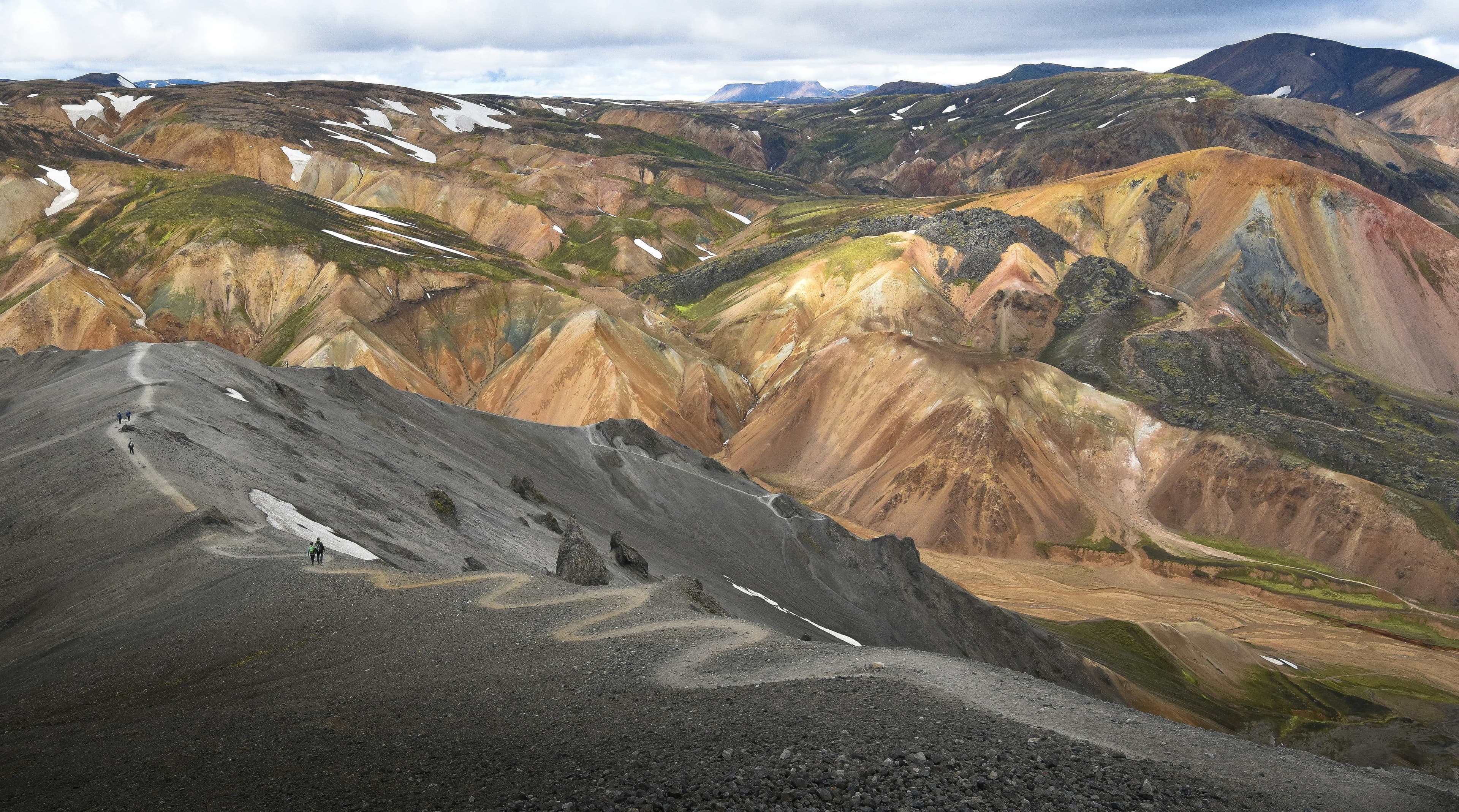
Landmannalaugar itself is made up of windswept rhyolite mountains, a rock type that creates a full spectrum of dazzling colors. Shades of red, pink, green, blue, and golden yellow make for an ethereal location.
6.4mi
2,204ft

The surroundings of the mountain are a very colourful rhyolite area with many hot springs, steam vents, boiling mud pits and ice caves, where there is geothermal activity under the ice. Such ice caves should not be entered because of their instability.
9.8mi
1,800ft
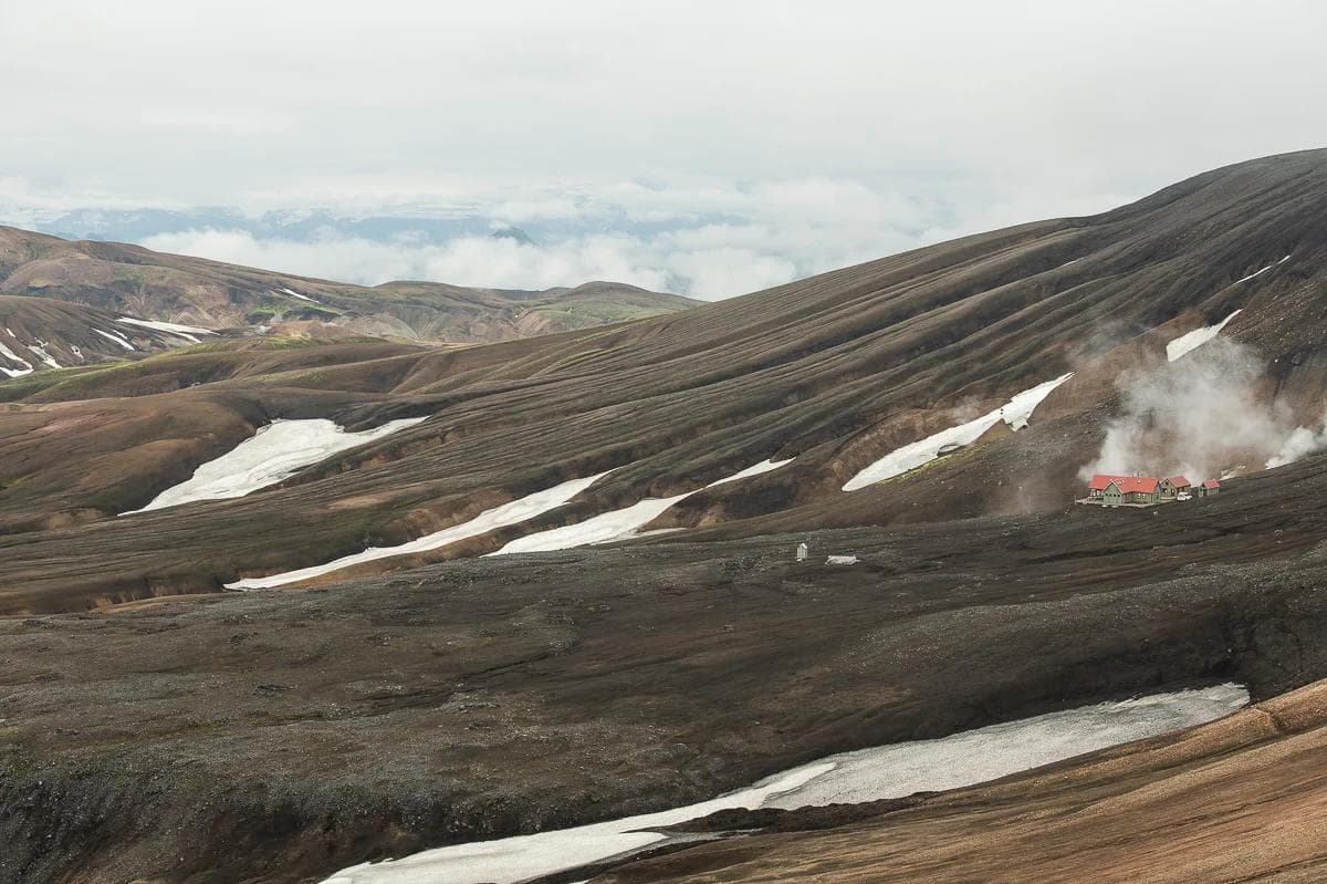
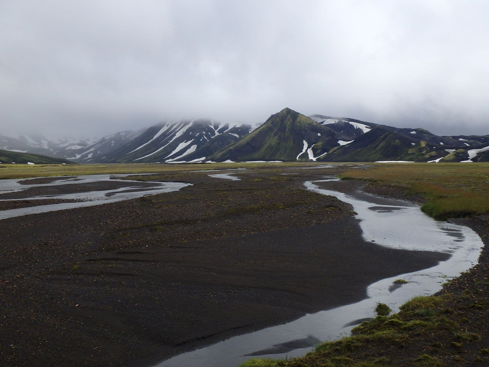
Gentle short rises and a wide volcanic plain, A small valley which has been a popular resting place for those travelling between Landmannalaugar and Þórsmörk. Sheperds’ hut and accommodation.
7.5mi
1,580ft
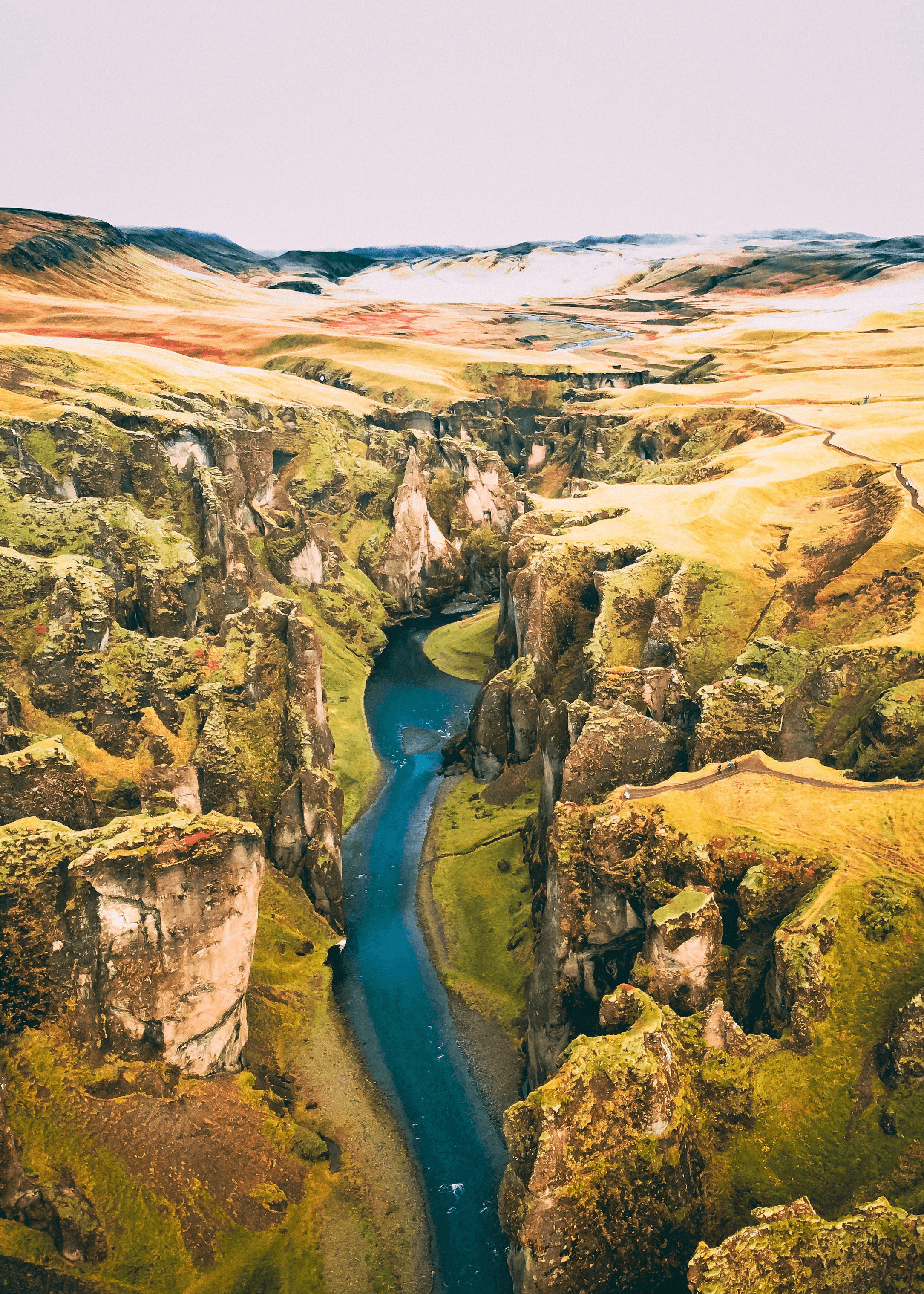
A canyon start with a fast moving river, steep decent down to a bridge leading to a lush birch forest. This trail does not have as much elevation change, but that does not mean a lack in scenery. From the hut, you wade through a small river and continue hiking through the valley.
10.4mi
1,600ft